Hurricane Polo Rapidly Intensifies to Category 5 Off Mexico's Pacific Coast
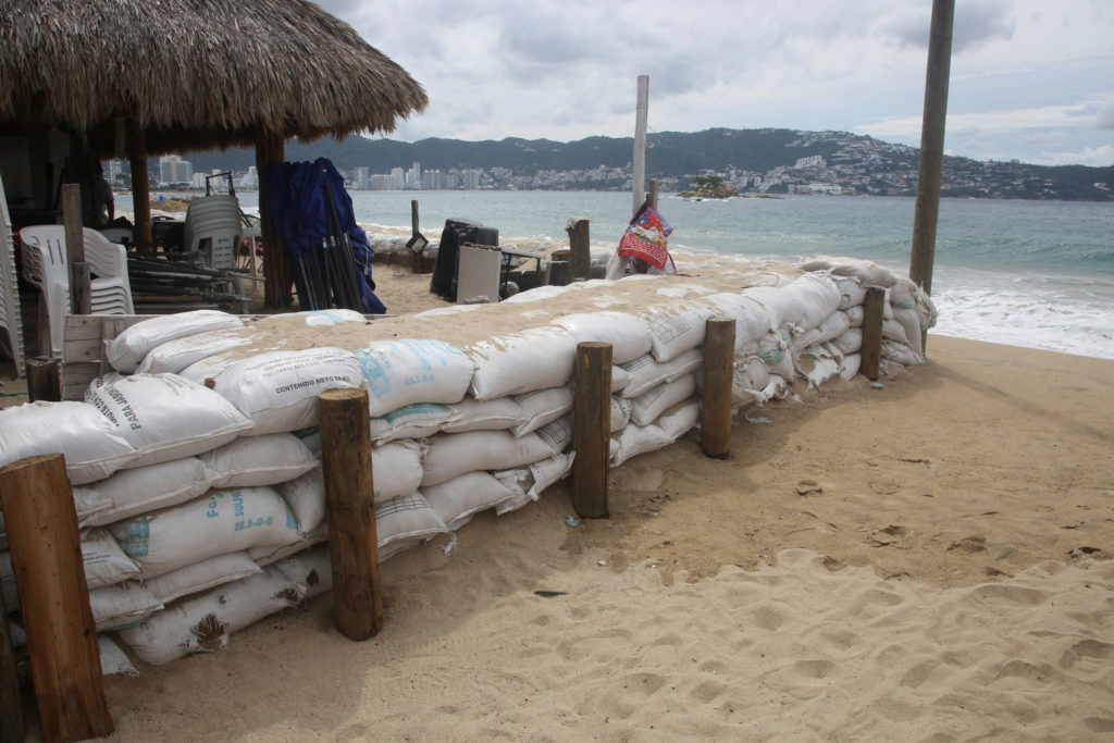
Hurricane Polo underwent rapid intensification in the Pacific Ocean, reaching Category 5 strength before weakening slightly to Category 4 as it moved along Mexico's southwestern coast. Outlets differed mainly in emphasis: some focused on the storm's historic intensity and speed of growth, while others highlighted the role of El Niño conditions in fueling its development.
Hurricane Polo formed and rapidly intensified in the Pacific Ocean off Mexico's southwestern coast in late September 2026, growing from a tropical storm into a Category 5 hurricane in fewer than 24 hours before weakening slightly to Category 4. Forecasters first flagged the storm on September 21, 2026, warning it would rapidly intensify and become a major hurricane later that week; by September 22–23, it had reached peak strength. Multiple outlets described Polo as one of the strongest Pacific hurricanes in decades, with several noting it ranked among the most powerful storms ever recorded in that region. At its peak, Polo produced sustained winds of 165 mph (266 km/h), with its center located about 215 miles (346 km) south of Zihuatanejo in Guerrero state. Reporting attributes the storm's explosive growth to unusually warm ocean waters linked to a strong El Niño weather pattern in the Pacific. While the hurricane churned off Mexico's coast, coverage indicated it was expected to skirt rather than make a direct landfall on the mainland, passing offshore of Guerrero state. As of the latest reports, Hurricane Polo remained a powerful storm system off Mexico, having weakened from Category 5 to Category 4 status. Its precise future track, whether it would make any landfall, and specific impacts on coastal communities remained unresolved in the available reporting. No casualty figures, evacuation orders, or damage assessments were included in the corroborated coverage.
SOURCE COMPARISON
How the coverage differs
Hurricane Polo downgraded but remains 'very powerful' off coast of Mexico
The large storm in the Pacific Ocean is being driven by warm waters caused by the El Niño weather phenomenon.
Read original report ↗How El Niño Fueled Hurricane Polo’s Explosive Growth
The storm is one of the strongest ever in this part of the world.
Read original report ↗Polo has rapidly intensified to a hurricane and is expected to impact Mexico
Hurricane Polo will rapidly intensify in the Pacific Ocean and become a major hurricane later this week, forecasters said Monday.
Read original report ↗Hurricane Polo is a powerful Category 4 storm off Mexico. See its path.
Hurricane Polo intensified rapidly in the Pacific off the southwestern Mexican coast, growing into a Category 5 storm before weakening slightly to a Category 4. Here's the latest on its path.
Read original report ↗Category 5 Hurricane Polo is 'one of the strongest storms ever'
Hurricane Polo has grown into one of the most powerful Pacific cyclones in decades, and it was expected to skirt Mexico's southwestern coast as a Category 5 storm.
Read original report ↗Hurricane Polo, rapidly intensifying from strong El Niño patterns, rages off coast of Mexico
Polo, with sustained winds of 165mph, is churning 215 miles south of Zihuatanejo but is unlikely to directly hit Mexico A tropical storm off the south-west coast of Mexico has intensified into a category 5 monster in fewer than 24 hours, fueled by stronger than usual El Niño weather patterns in the Pacific Ocean. Hurricane Polo was sending out maximum sustained winds of 165mph (266km/h) on Tuesday as its center churned about 215 miles (346km) south of the coastal city of Zihuatanejo, in Guerrero state. Continue reading...
Read original report ↗